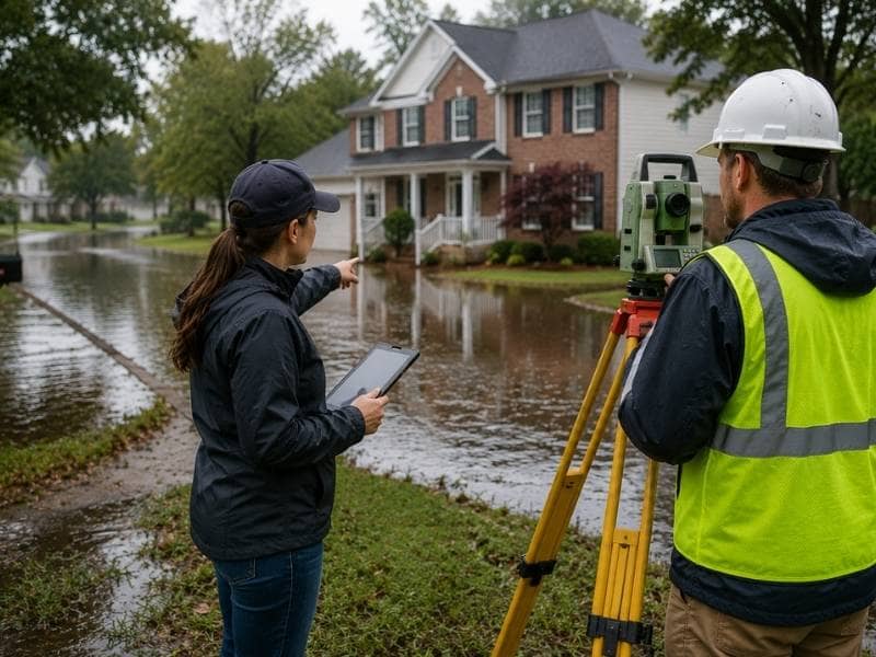
Property survey problems that show up right before closing day can slow or stop a sale at the worst possible time. Most buyers and sellers don’t think much about the survey until it comes back with something unexpected. When that happens close to closing, everyone has to respond fast. Understanding what kinds of problems surveys find, and how those problems get handled, helps buyers and sellers stay ready if something comes up.
How a Survey Finding Triggers a Title Insurance Exception
When a property survey turns up a problem, the title company takes notice. Title insurance protects buyers and lenders against claims tied to the property’s legal status. But when a survey reveals a physical condition that can’t be ignored, the title company may add an exception to the policy.
A title insurance exception means the policy does not cover that specific condition. If the exception involves something serious, the buyer may end up owning a property with an unresolved issue that their title policy won’t protect them against. Buyers who review the survey carefully before closing can ask about any exception before signing, rather than finding out what it means after the deal is done.
How a Square Footage Gap Between the Deed and the Survey Affects a Sale
A deed description and a survey don’t always produce the same lot size. Older deed descriptions sometimes contain small errors. In other cases, a prior survey used different reference points than the current one. When the measured size comes back noticeably different from what the deed states, both parties have to answer for it before closing.
For buyers, a smaller lot than expected may affect how much they want to pay. For sellers, a larger lot than the deed describes may seem like good news, but it also raises questions about why the difference exists. Either way, a size gap between the deed and the survey needs a clear explanation before the transaction can move forward.
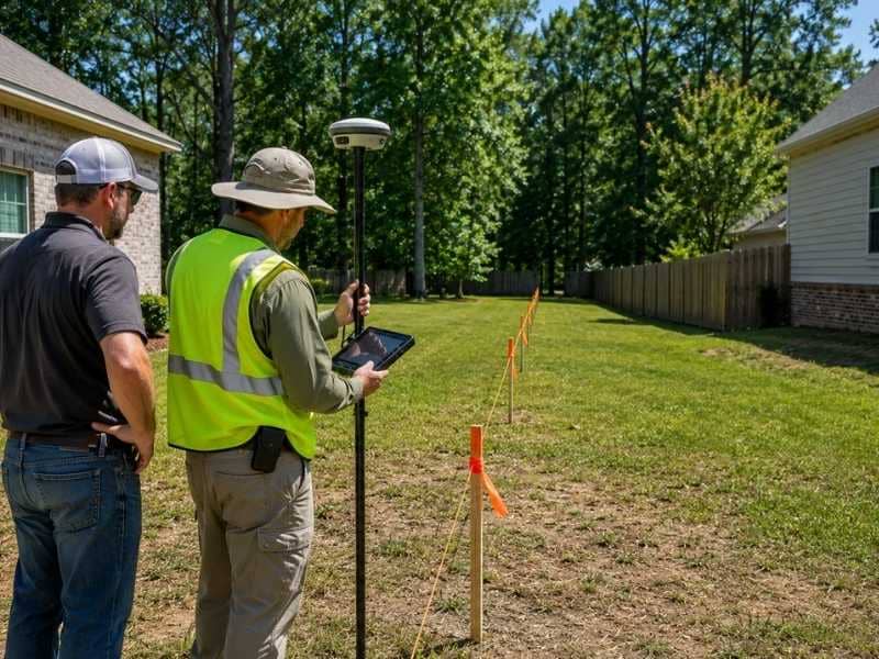
How an Unresolved Survey Issue Can Block Mortgage Approval
Lenders review property surveys as part of the loan process. They need to confirm that the property is clearly defined and free of major unresolved issues before they approve the loan. When a survey comes back with a problem that hasn’t been fixed, the lender may put the loan on hold until the issue is addressed.
This is one of the more stressful ways a survey problem shows up before closing. The buyer may have already finished the inspection, agreed on a price, and scheduled movers. Then the lender flags a survey issue and everything stops. Getting the survey done early in the process gives more time to fix problems before they threaten the loan.
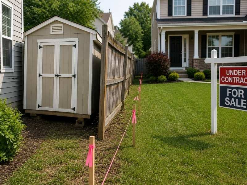
How Sellers Learn About Survey Problems and What They Can Do
Sellers don’t always know a survey problem exists until the buyer’s survey comes back. A garage built years ago may sit slightly past the property line. A shed may sit in an easement area. The seller lived with those conditions without any trouble, but a survey makes them visible and documented.
When a survey reveals a problem on the seller’s side, there are a few paths forward. The seller can talk with the buyer about how the issue affects the price. They can work with a neighbor to create a recorded boundary agreement. They can apply for a variance if a local rule was not followed. Or they can remove the structure if that’s the simplest fix. The right option depends on the type of problem and how much time is left before closing.
How Closing Attorneys Use Survey Results to Prepare Resolution Documents
When a survey problem is found and both parties agree on a fix, the closing attorney usually has to prepare documents before the sale can move forward. A boundary line agreement needs to be drafted, signed, and recorded. A written note about an easement condition may need to be added to the closing package.
This process takes time. Drafting legal documents, collecting signatures, and filing them with the county don’t happen in a day. When a survey problem shows up close to the closing date, the attorney may not have enough time to finish everything before the date arrives. That’s how a finding on Monday can push a closing to the following week. Getting the survey done early gives the attorney room to work without the pressure of a tight deadline.
Frequently Asked Questions
Can a property survey cause a delay before closing?
Yes. If a survey finds a boundary problem, a title exception, or a condition the lender needs to review, the closing may be pushed back while the issue gets resolved.
What if a property survey shows that a structure crosses a property line?
The buyer and seller typically need to agree on a fix before the sale moves forward. Options include a recorded boundary agreement with the neighbor, a price adjustment, or removal of the structure.
Why do some lenders ask for a property survey?
Lenders want to confirm that the property boundaries are clear and that no unresolved physical conditions could affect the value of the property being used as loan collateral.
Can a new property survey be different from an older one?
Yes. Updated measurements, corrected deed descriptions, or changes to the property since the last survey can all produce different results.
Who handles problems found during a property survey?
It depends on the type of problem and what the purchase agreement says. Buyers and sellers often work together on a fix. The closing attorney, title company, and sometimes a neighbor may all be involved.