
Boundary Survey Cost in 2026: A Complete Pricing Breakdown by Property Type
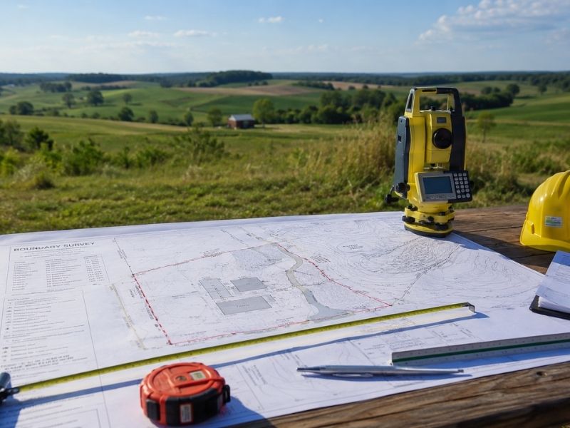
Most developers get quoted one number and assume that’s the standard rate. It’s not. Boundary survey costs shift depending on what type of property is on the table. A standard residential lot and a 40-acre rural tract are not the same job, and the price reflects that difference significantly.
This breakdown covers what you can realistically expect to pay in 2026, organized by property type, so you can budget before the project begins.
What a Boundary Survey Costs on Average
The boundary survey cost in 2026 typically falls between $500 and $5,000 at the national level. Most residential jobs come in between $500 and $1,500. Commercial and acreage surveys run higher, often past $3,000.
Those ranges exist for a reason. Property size, shape, terrain and existing records all affect the final number. But the type of property you’re working with matters most when setting your budget.
Pricing by Property Type
Residential Lots
For a standard single-family lot in a platted subdivision, expect to pay between $500 and $1,200. These surveys move faster because records are usually current and boundaries are clearly defined.
Older neighborhoods take more time. If the original survey is 40 or 50 years old, the surveyor has to locate original monuments, compare deed descriptions and verify corners by hand. That adds hours. Hours add cost.
Residential boundary surveys in fast-growing suburban areas typically run between $700 and $1,100 for a standard-sized lot in 2026.
Rural and Acreage Properties
This is where costs jump. A 10-acre rural parcel can run $1,500 to $3,500. A 50-acre tract can push $4,000 to $8,000 or more.
Rural surveys often have vague deed descriptions. Some properties haven’t been touched in decades. The surveyor may need to clear vegetation to find old markers or re-establish corners using historical records and GPS control points.
Parcels with irregular shapes, water features or split ownership history cost more. Count on it.
Commercial Properties
Commercial surveys range from $2,000 to $10,000 depending on the scope. A small retail lot in a developed area might come in at $2,500. A multi-acre commercial site with multiple access points and adjoining easements can reach $8,000 to $12,000.
Developers handling commercial transactions frequently need an ALTA/NSPS survey alongside the boundary work. That’s a separate cost. ALTA surveys for commercial properties typically run $3,000 to $15,000, billed apart from the standard boundary survey.
Vacant and Undeveloped Land
Vacant land can go either way. A clean, small parcel with solid records costs about the same as a residential lot. A large, undeveloped tract with access issues, unclear legal descriptions and no recent survey history can rival rural acreage pricing.
If you’re buying vacant land to develop, get a survey before closing. Boundary gaps and title conflicts are more common on undeveloped parcels than on any other property type.
Subdivision and Multi-Lot Parcels
Surveying an entire subdivision costs more upfront but the per-lot cost drops. A developer platting a 20-lot subdivision might pay $8,000 to $20,000 total. That works out to $400 to $1,000 per lot.
Costs at this scale depend on subdivision size, the number of lots, road layout complexity and whether utility easements need to be mapped. Get a full-project quote early, not a per-lot estimate.
What Developers Pay vs. Homeowners
Developers working on multiple parcels or larger tracts can negotiate surveying as part of a larger contract. A firm handling all your surveying work across one project may offer better pricing than one-off quotes will.
Also know the difference between a boundary survey and a topographic survey. Some developers assume they’re the same job. They’re not. A boundary survey defines the legal lines of the property. A topographic survey maps surface features and elevation. You may need both, but they’re priced separately.
If you’re doing site work, staking or construction planning, the boundary survey comes first. It sets the legal foundation for everything that follows.
A 2022 study from the National Society of Professional Surveyors found that over 30% of real estate disputes involve boundary-related issues. For developers managing multiple parcels, that statistic carries real financial weight.
Frequently Asked Questions
How much does a boundary survey cost for a residential lot?
Most residential boundary surveys cost between $500 and $1,500. The price depends on lot size, terrain and how current the existing survey records are.
Why do rural properties cost more to survey than suburban lots?
Rural properties often have older deed descriptions, fewer recorded monuments and harder physical access. Surveyors spend more time researching records and locating property corners in the field.
Does the age of a previous survey affect the price?
Yes. If the last survey was done decades ago, the surveyor may need to re-establish corners, compare historical deed descriptions and verify boundary lines from scratch. That adds time and cost.
Can I negotiate the price for multiple parcels?
Often, yes. Many surveying firms offer better rates when contracted for multiple lots or an ongoing project. Get quotes from two or three firms and ask about volume pricing before signing.
How long does a boundary survey take?
A simple residential lot can be completed in one to three days. A rural tract or commercial property takes longer, sometimes one to three weeks, depending on the complexity of records and field conditions.