
Why a Licensed Land Surveyors Review Easement Widths Early
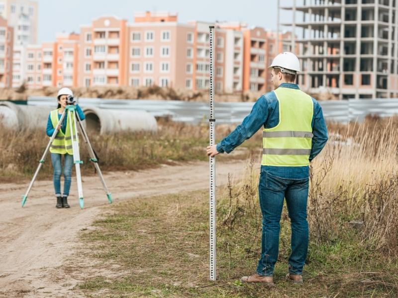
One recorded document says the drainage easement is 15 feet wide. A plat from a few years later shows it at 20 feet. That five-foot gap looks small on paper, yet it can push a building line, shrink a parking field, or send a site plan back for redesign.
Easement width conflicts are common in property records, and they rarely fix themselves. The earlier a licensed land surveyor reviews them, the more options you have and the less it costs to respond. If you’re a developer, property owner, or buyer planning to build, this review belongs at the front of your schedule, well before an engineer starts drawing.
How Conflicting Easement Widths Appear in Property Records
An easement is a recorded right that lets someone else use part of a property for a set purpose, such as utilities, drainage, or access. Its width defines how much land that right covers. Conflicts happen when two or more records describe the same easement differently.
These mismatches tend to show up in a few familiar ways:
- A deed describes one width, and a recorded plat shows another.
- An older easement uses vague language, such as “a strip along the north line,” with no stated width.
- One document measures from a centerline, while another states a total width.
- A later amendment or partial release changed the easement, but older plans were never updated.
The centerline issue causes more trouble than most people expect. “Ten feet on each side of the line” means 20 feet total, but someone reading quickly may plan around ten. Small wording differences like this are where many site plans go wrong.
Comparing Recorded Easements With Existing Survey Documents
The fix starts with putting every relevant document side by side. That usually means the title commitment, the recorded easement instruments listed in it, any recorded plats, and prior surveys of the property. A licensed land surveyor reads each one and plots the easements on a single drawing so the differences are easy to see.
Prior surveys deserve a careful look. An older survey may have shown an easement based on the records available at that time. If a new instrument was recorded later, that survey won’t reflect it.
Your title commitment is a key source here. Its list of exceptions points to the recorded documents that affect the property, and your surveyor should get copies of each. Keep in mind that deciding which document legally controls is a question for your attorney or title company, while the surveyor’s job is to locate and show what the records describe.
How Easement Width Discrepancies Affect Site Development Plans
Easement width shapes your buildable area. Most permanent structures can’t sit inside a utility or drainage easement, and many easement holders limit what can go there. If the true width is larger than your plan assumes, part of your design may land in a restricted zone.
The effects reach well past the building footprint. Parking spaces, detention ponds, retaining walls, landscaping, and driveway locations can all shift. A five-foot change along a long property line can remove several parking spaces or force a stormwater pond into a new shape.
Timing makes it worse. A conflict found during permit review or construction staking can mean redrawn plans, new review cycles, and contractor delays. Lenders and title companies may also raise questions that hold up closing or financing.
What a Licensed Land Surveyor Can Verify on the Property
A licensed land surveyor connects the records to what’s actually on the ground. Field work can locate boundary monuments, utility poles, manholes, pipes, ditches, and other evidence of how an easement is being used. That physical evidence helps explain where an easement sits and how it has been treated over time.
On the survey drawing, the surveyor can show each recorded width where it applies. If two documents conflict, the drawing can display both and note the difference in plain terms. This lets your engineer see the most restrictive case before any design decisions are locked in.
A surveyor can also measure how close existing improvements sit to each version of the easement. That matters if a fence, sign, or paved area already crosses into one of the possible widths. What a surveyor can’t do is settle legal ownership or rights, so expect the survey to identify the conflict and leave the legal answer to your attorney and title company.
Addressing Easement Conflicts Before Design or Construction Begins
The best time to deal with an easement conflict is before anyone draws a site plan around it. Once design is underway, every change costs more. Order your survey early and ask the surveyor to flag any width discrepancies in writing.
From there, a practical plan usually includes these steps:
- Share the survey and recorded documents with your attorney and title company.
- Contact the easement holder, such as a utility provider or local agency, to ask how they read the easement.
- Request a written clarification, amendment, or partial release if the holder agrees.
- Have your engineer design around the wider width until the conflict is resolved.
Designing to the wider width is often the safer approach while questions are open. It may cost some usable space, but it protects you from a forced redesign later. Requirements and outcomes can vary by property type, easement holder, county, municipality, and project scope, so confirm your survey needs early whenever permitting or construction depends on the answer.
Frequently Asked Questions
What is an easement width conflict?
An easement width conflict happens when two or more records describe the same easement with different widths. For example, a deed might say 10 feet while a plat shows 20 feet. These conflicts can come from older vague descriptions, later amendments, or centerline wording. They matter because width controls how much of your land is restricted.
Can a licensed land surveyor decide which easement width is correct?
A licensed land surveyor can locate, measure, and map what each recorded document describes. The surveyor can also show physical evidence of how the easement is used on the ground. Deciding which document legally controls is a question for an attorney or title company. Working with both gives you the clearest picture.
Why should I review easement widths before site design?
Easement widths affect where you can place buildings, parking, utilities, and stormwater features. If a conflict is found after design starts, plans may need to be redrawn. That can delay permits and raise engineering costs. An early review lets you design around the correct limits from the start.
Will my title company catch easement width conflicts?
Your title company lists recorded easements as exceptions in the title commitment. It doesn’t usually map those easements on the ground or compare them against your site plan. A survey shows where each easement falls and whether the records disagree. Using the title commitment and survey together gives you much better coverage.
How can an easement width conflict be resolved?
Common options include a written clarification, an amendment, or a partial release from the easement holder. Some conflicts are handled through title coverage, and some require legal action. The right path depends on the easement type, the holder, and your project. Your attorney can explain which options fit your situation.